

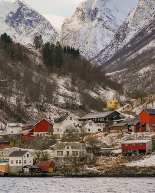
Western Norway sits along the country’s Atlantic edge, where a coastline of islands, inlets, and long sea-arms reaches far inland between high mountains. These sea-arms are the fjords: deep channels carved by glaciers over many thousands of years, then filled by the sea when the ice retreated. The result is a landscape of steep rock walls, waterfalls, and small farms set on narrow shelves of green. This is one of the clearest examples anywhere of how ice shapes a country, and it has drawn travellers for well over a century.
What makes this region different is the scale and the calm. The water in the inner fjords is often still enough to hold a full reflection of the peaks above. Villages remain small, roads follow the shore rather than cutting across it, and ferries are part of daily life rather than a tourist novelty. Two of the fjords here, the Geirangerfjord and the Nærøyfjord, are listed together as a UNESCO World Heritage Site, recognised as among the finest fjord landscapes in the world. You are looking at working communities inside a protected natural setting, not a theme built for visitors.
This route suits travellers who prefer depth over distance. The fjords are best understood slowly, from the deck of a boat, the window of a train, or a bench above the water in the evening light. If you like a landscape that asks you to stop and look rather than rush on, western Norway rewards that patience.
In This Email:
Norway’s Western Fjords - Below you will travel from Bergen, the historic gateway on the coast, inland to the great fjords and up to the art-filled town of Ålesund. You will find out what to see in each place, how the sites connect, and how to move between them without wasted time.
Bergen
The Flåm Railway and Aurland
The Nærøyfjord
The Geirangerfjord
Ålesund
Suggested five-day itinerary and best time to visit
